Wednesday, 6 April 2016

Rhossili Revisited

Went back to visit Rhossili again, but this time it was a bit cloudier with a bit more surf. Got to see some cool stuff that you miss when it is sunny out.

A couple of local residents just checking out the surf from the cliff.

Another little guy living life. The sheep are marked with spray paint to identify them to different farmers' herds. They all mingle together out on Rhossili.

Overlooking Rhossili and the watchman's house in the bay.


A view of the sign with the crossing times where the causeway will be exposed. In this picture you can see how the tide is too high and drowns the causeway, making the island an island once again.

Three Tears Cliff.

Swell lines rolling into Rhossili. Possibly one of my favorite photos I've ever taken!

These are the remnants of an ancient shipwreck on the beach at Rhossili. The original wood timbers from the ship's hull are exposed at low tide and with low sand levels.

Gower Sunsets

This was from a particularly nice day back in mid-March. Welsh sunsets are no joking matter when they happen!

Looking back into the sun over towards Caswell Bay, doing the best to burn out my phone's camera.

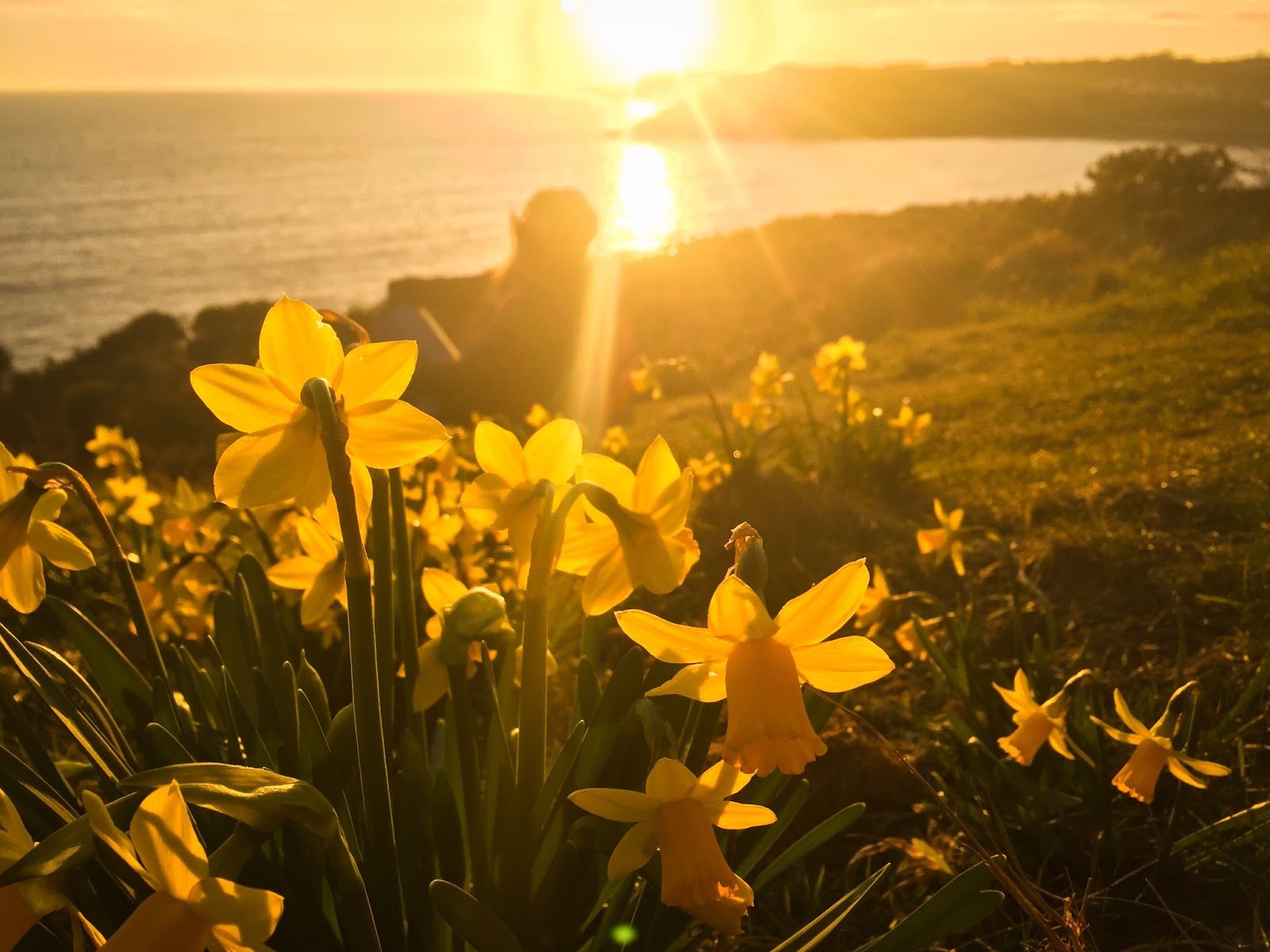
Daffodils are the national flower of Wales and have strong meanings of national pride. In the turn of spring, they are all over the place.

Looking back towards Langland Bay.

Around the corner from Langland, looking back at the sun along the cliff path towards Bracelet Bay. 

The view of the sunset at Bracelet Bay...unfortunately couldn't get a decent picture with the lighthouse in it so those houses had to do.

Tuesday, 15 March 2016

Pontneddfechan Waterfalls and Climbing

Pontneddfechan is an old mining town on the edge of Brecon Beacons, closest to Neath. An area that has many abandoned mine shafts and old mining equipment laying around, but also happens to have some of the best climbing in the area called Dinas Rock with multiple crags. We travelled up on an afternoon to explore the park and boulder around for a bit.

One of the first waterfalls right in the front of the Dinas Rock, Kennelgarth Wall where we climbed. Can see the steps and concrete blocks from an old mining track that ran along this waterfall.

Grace looking up at a very impressive cave/crag. Apparently people have climbed lines in this. The rock holds are made by water seeping down the rock, so are incredibly small and difficult. Very cool.

Stagnant pool downstream from one of the waterfalls. Very clear water.

One of the main waterfalls right near the entrance to one of the mine shafts. This waterfall and pool are clearly a popular area to swim and cliff jump, with abandoned clothes and paths everywhere.

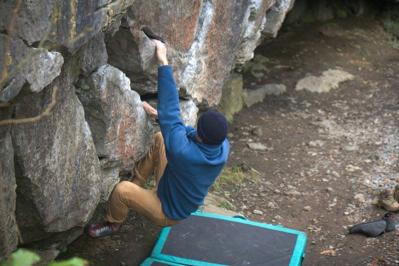
This is me getting crushed by one of the easiest climbs at the Kennelgarth Wall (V1). Since this crag is one of the oldest and most documented in South Wales, the routes are rated super super super hard, and all the rock is smoothed out to be glass smooth from countless climbing shoes wearing them down. Cool experience but horribly difficult.

Time lapse of the Kennelgarth Waterfall.

Rhossili/Worms Head

Rhossili is the further West beach of the Gower and is one of the largest and most expansive stretches of beach along the Gower. It showcases huge tides and has some of the most incredible backgrounds on the Gower. Worm's Head is the island off the tip of Rhossili which can only be accessed via a causeway that is only present 2 hours either side of low tide.

One of the first cliffs along Rhossili looking over the beach at low tide.

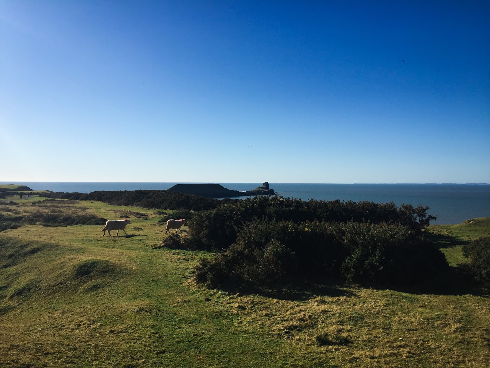
A view of Worm's Head in the background with some of the many free-range sheep in the foreground running to fresher grass.

Looking out to Worm's Head with the exposed causeway in sight.

Looking towards Tears Point further to the East, looking back towards Swansea and out to sea.

Looking from Tears Cliff towards Worm's Head and the causeway about to go underwater. You can see the house to the right where men are stationed 24/7 to keep an eye on the Worm's Head causeway for potential stranded hikers or fisherman.

Standing atop the main cliff at Tears, looking along the Gower coast to the East.

Looking back at some friends standing on Tears Cliff.

The view of Rhossili and Llangenith beach to the South, with the tide moving back in.

Time lapse from Tears Cliff looking along the Gower.

Monday, 22 February 2016

Imogen Hits Wales

On a Monday a few weeks ago, we were hit by winter storm Imogen, which proved to be quite large even for the North Atlantic. 70 mph winds and 15-20 foot waves smacked the coast, bringing lots of rain and tree damage as well. So of course we decided that we should go out to the coast to witness the storm's power. It was very impressive and one of the largest storms I have ever witnessed. The sun alternated between poking out and going completely cloudy, so we got to see a lot of different moods as we walked.


Started at Caswell Bay, where sun was entirely hidden and it was quite misty


But as we went to leave Caswell, the sun began to pop out for our walk along the coast. Tide was very low, but would rush in VERY quickly, faster than we could run. 

Walking along the coast. To give size perspective, headlands are a couple hundred feet tall. Estimating that waves were 15 to 20 feet. Typically waves do not break at all in this area.

Looking back at Caswell and out towards the Three Cliffs area

Sun began to pop out through the mist and pop some color that matched some of the local wildflowers on the tops of the cliffs

Standing out on a headland on top of the cliff, looking over the huge seas when the sun started to shine hard

Watching 20 foot waves break against the giant cliffs. Can see the fine mist all along the coast that was constantly regenerated with each wave.

Moody view from the edge of a low cliff. At about 20 feet up and facing straight into the wind, this location was the windiest.

In the same spot, we were being drenched by the spray from the waves on the rocks. Spray was travelling a good 100+ yards to reach us.

Looking out into the North Atlantic 

More Coastal Storms

Walked out to Mumbles Lighthouse/Point area for the last minor storm and found a place where the waves would force spray straight up. It was fun to stand under it until I got soaked to the bone by one that just washed over the rocks instead of spraying the rocks. Figured I would take a video a bit further back.

Thursday, 11 February 2016

Start of the Gower/Langland Bay

Earlier in the week we took a hike down to the Gower. The Gower is the broad name for the stretch of coastline along Southern Wales, starting just East of Swansea and running all the way to Llangenith. The Gower is known for its dramatic landscape of towering cliffs, sandy bays, and wild surf. There is a path that runs along the duration of the coastline, right on the edge of the cliffs, which offers some spectacular views. We started at the closest bay on he Gower, Langaland, and walked back out towards the Mumbles lighthouse. We got lucky and caught some sun, which led to some great lighting, even for iPhone cameras.

Looking to Langland bay from the smaller Rotherslade Bay.

Looking at the big boulder called the Tor at Rotherslade.

The view from the top of the 15 foot Tor.

Looking back at Langland from the coastal path headed East. Can see some surfers out.

The view from a cliff overlooking the coastline all the way to Langland and Caswell in the distance.